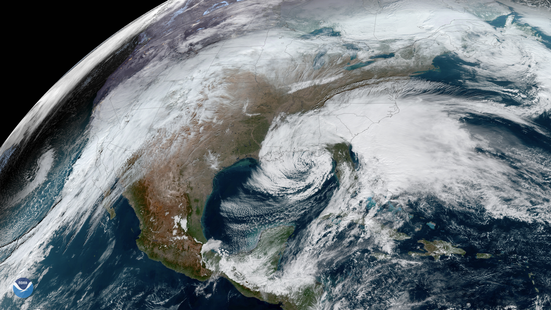
Boone County residents face a worsening flood threat Thursday afternoon as a new round of heavy storms moves into the area, dropping an estimated 2 to 4 inches of rain on ground already saturated from Tuesday's derecho.
The National Weather Service office in Wilmington, Ohio, has issued a Flood Watch for Boone County through 11 a.m. Aug. 14. A Hazardous Weather Outlook is also in effect.
Scattered storms are expected to arrive mid-afternoon Thursday, Aug. 13, becoming more numerous through the evening and overnight hours, according to WLWT meteorologist Randi Rico. Heavy downpours are forecast to continue into at least the first half of Friday.
"We aren't done with the torrential rain yet," Rico wrote in her Thursday forecast.
The rain is expected to train over the same areas already hit by Tuesday's storm system, compounding the flooding risk. The Ohio River at Cincinnati is forecast to crest at 37.7 feet at 8 a.m. Friday, which would be the highest river level recorded so far in 2026, according to LINK nky. That level sits just below the threshold at which residents are advised to begin taking protective action.
Power outages complicate preparations
As of Wednesday morning, roughly 17,000 Duke Energy customers across Northern Kentucky remained without power from Tuesday's derecho, along with several hundred Owen Electric Cooperative customers. Duke Energy has brought in extra crews from out of state to assist with repairs, according to Campbell County Economic and Community Development Director Justin Otto.
Boone County Engineer Tom Logan said two public works crews were dispatched overnight Tuesday to the Verona and Petersburg areas for debris cleanup. Additional storms Thursday could slow that work.
Kenton County Emergency Management and Homeland Security Director Steve Hensley told LINK nky on Wednesday that the likelihood of more rain "certainly hampers the cleanup" while thousands remain without power.
What residents should do
Stay off flooded roads. The NWS warns that just 6 inches of moving water can knock a person off their feet.
With power still out for many households, the NWS recommends charging all devices while power is available and keeping a battery-powered radio as a backup source for weather alerts. Residents can monitor outages through Duke Energy's outage map or report outages at (800) 543-5599.
Boone County residents can sign up for the county's free emergency notification system at boonecountyky.org and follow Boone County Emergency Management on Facebook.
Weekend outlook
Once the Flood Watch expires Friday morning, the weekend is expected to be dry. Heat and humidity will push the heat index to approximately 100°F on Saturday and Sunday.